- Bow Valley Insider
- Posts
- How Would Banff Evacuate in a Wildfire? New Studies Put Hwy 1 to the Test
How Would Banff Evacuate in a Wildfire? New Studies Put Hwy 1 to the Test
Town launches evacuation modelling with Parks Canada, Canmore and MD of Bighorn to identify bottlenecks and clearance times
Bow Valley Insider
January 13, 2026
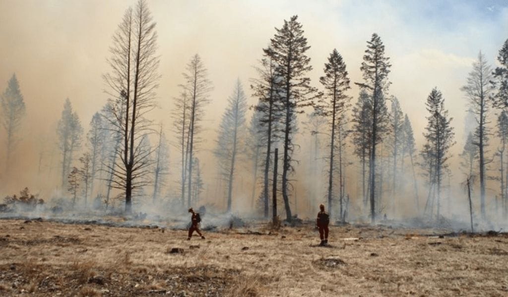
With Banff’s only highway corridor serving as both a daily tourism artery and the primary evacuation route in the event of a major wildfire, town officials are now launching detailed traffic and evacuation modelling to understand whether Highway 1 and surrounding exits could handle a full-scale emergency evacuation.
Two major evacuation modelling projects are now underway, one in partnership with Parks Canada and another with the Town of Canmore and the Municipal District of Bighorn. The studies are designed to analyze how people and vehicles would move during a large-scale emergency, including wildfire, and to identify where congestion and critical choke points could emerge.
The focus of both studies is Highway 1 and the surrounding Bow Valley road network, which serves as the primary east-west corridor through Banff National Park and the main exit route for Banff, Lake Louise and nearby communities. The modelling will examine how evacuation traffic would move, where bottlenecks would likely form, and how different communities’ evacuation flows could interact if more than one area had to clear at the same time.
Katherine Severson, Banff’s Director of Emergency and Protective Services, said the modelling is aimed at understanding “the impacts from emergency evacuations on road networks, specifically Highway 1 and all of our exits onto Highway 1,” and at identifying alternative strategies that could reduce congestion and improve clearance times.
The Parks Canada study will focus on evacuation dynamics within the national park, including Banff and nearby corridors. The regional project with Canmore and the MD of Bighorn will take a broader view, modelling how traffic from multiple municipalities and park areas would converge on shared highways and interchanges.
The modelling is also being tied directly to training and exercises. Severson told council that Banff and its regional partners are planning major emergency management activities in 2026, including Incident Management Team training, further Incident Command System exercises and a large functional wildfire exercise that will include an evacuation component.
Those exercises, she said, will be informed by the modelling results and used to test evacuation plans under simulated real-world conditions.
Mayor Corrie DiManno pressed for clarity on how and when the results of the evacuation modelling would be reported. In response, Severson said the regional modelling work with Canmore and the MD of Bighorn is expected to deliver an initial report by spring 2026. The timeline for the Parks Canada study is still being finalized, but she said the town would be able to provide a substantial update by the end of 2026.
The studies are expected to inform decisions about traffic control points, staging areas, phased evacuation strategies and the potential need for alternate routing or infrastructure upgrades. They may also shape public communication plans, including how residents and visitors would be notified and directed during an emergency.
Reply