- Bow Valley Insider
- Posts
- Best Kananaskis Hikes You Can Still Do in November
Best Kananaskis Hikes You Can Still Do in November
Bow Valley Insider
November 02, 2025
November is a tricky month for hiking in Kananaskis. Snow has usually arrived in the alpine, the ground is frozen or icy in the shade, and daylight is limited. Many popular trails start to enter avalanche terrain, and several K-Country access roads close in December.
The good news: there are still a few reliable routes you can safely do in November with low avalanche exposure. The five hikes below are straightforward, offer good views for the effort, and remain accessible before winter closures.
Before heading out, check Alberta Parks trail reports and bring microspikes.
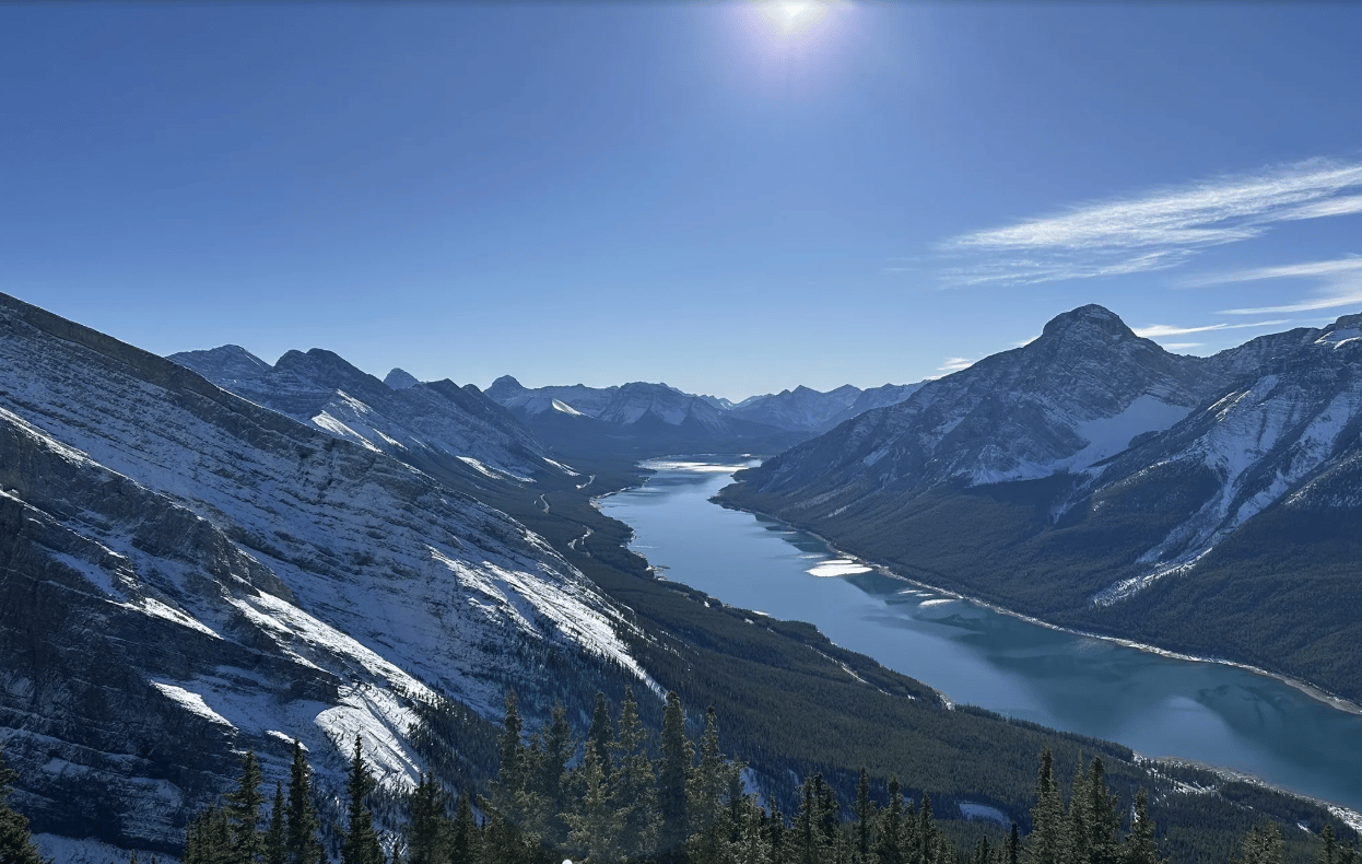
1. Little Lougheed
Distance: ~6.2 km return
Elevation Gain: ~700 m
Time: 3 to 4 hours
Difficulty: Moderate to challenging
Trailhead: Smith-Dorrien Trail (Spray Lakes Road)
Why It Works in November
Little Lougheed is a short, steep ridge hike that stays out of avalanche terrain. It’s a good late-season option when you can’t commit to a full day and want a reliable summit with clear payoff.
Route Overview
Start at the Spencer Creek pullout on the Smith-Dorrien. The first 1 km is the steepest section, with roots and rocks that freeze early in the season. After gaining the ridge, follow the worn path left toward the Little Lougheed shoulder. The “summit” is a sub-peak of Mount Lougheed but offers direct views over Spray Lakes.
November Conditions
Expect ice in the trees from the start. Microspikes are recommended for both ascent and descent. The ridge is exposed to wind, and snow can drift along the upper section. Poles help on the descent.
Access Notes
Smith-Dorrien remains open year-round, but the road can be slick. Winter tires are recommended.
2. King Creek Ridge
Distance: ~6.8 km return
Elevation Gain: ~700 m
Time: 3 to 4 hours
Difficulty: Moderate
Trailhead: King Creek Day Use, Highway 40
Why It Works in November
Mostly south-facing slopes help keep the ridge drier than many other trails. The ascent is steep but short, and staying on the ridge avoids notable avalanche terrain. Good choice when you want quick elevation and ridge views without committing to a long day.
Route Overview
Park at King Creek Day Use. Cross the creek and head up the steep slope directly behind the parking area. The trail gains the ridge quickly and stays on it the rest of the way. Follow the obvious ridge crest toward the summit bump. There is an optional short extension to a slightly higher viewpoint before the ridge tapers.
November Conditions
The ascent often has frozen dirt and thin snow. Microspikes improve traction on the steep lower half. The ridge is exposed to wind, especially in the afternoons. Start early to avoid icy refreeze on the descent.
Access Notes
The King Creek Day Use trailhead is accessible year-round. It sits directly at the winter gate on Highway 40. Even after the December 1 closure, you can still park at the gate and access the trail.
3. Mount Lipsett
Distance: ~10.5 km return
Elevation Gain: ~600 m
Time: 3.5 to 5 hours
Difficulty: Moderate
Trailhead: Highway 40 (Lipsett trailhead)
Why It Works in November
Mount Lipsett stays out of avalanche terrain when you use the summer route. It offers ridge views without committing to higher-risk alpine conditions. Highway 40 access closes in early December, so November is the last chance for the season.
Route Overview
Start from the roadside trailhead. Follow the old road through forest as it gradually climbs toward the ridge. The grade is consistent and not technical. Once on the ridge, continue to the summit area. The ridge often collects snow, but the terrain remains manageable.
November Conditions
Expect snow accumulation along the ridge and wind exposure. Traction helps on the packed-down sections. Bring extra layers for the summit, as wind can be strong and temperatures drop quickly.
Access Notes
Important: Highway 40 south of the Kananaskis Lakes turnoff closes December 1. If you plan to do Lipsett, it needs to be done in November.
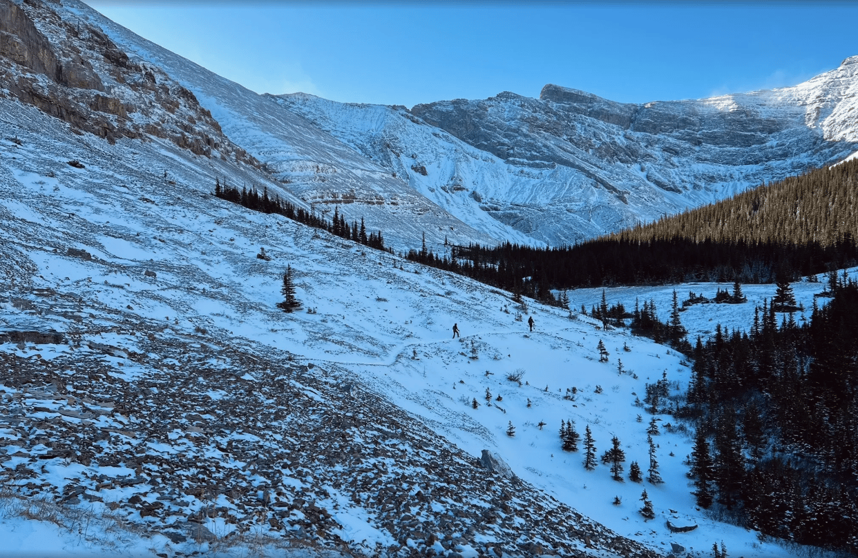
4. Bryant Lake (via Powderface Trail)
Distance: ~12 to 13 km return
Elevation Gain: ~700 m
Time: 4.5 to 6 hours
Difficulty: Moderate to challenging (longer day with creek and forest travel)
Trailhead: Canyon Creek access from Powderface Trail
Why It Works in November
Bryant Lake shares the same initial approach as Mount Bryant but stops at the lake, avoiding more exposed and committing terrain. It remains feasible in November, as it avoids avalanche-prone slopes. Powderface Trail road conditions can vary.
Route Overview
Start from Powderface Trail where it meets Canyon Creek. Drop into the creek bed and follow it upstream. The early section involves travel on rocky creekbed and old road. Continue until the junction where the Bryant Lake trail branches. Follow the trail up through forest to the lake. The lake sits in a sheltered bowl below Mount Bryant.
November Conditions
Expect frozen creek sections, snow patches, and icy ground in shaded areas. Waterproof boots are helpful. The lake may be partially frozen by mid-November. Allow extra time for the approach, as footing can be uneven.
Access Notes
Powderface Trail is an unpaved, unmaintained forestry road and becomes rough, icy, and rutted once temperatures drop. 4x4 and winter tires are strongly recommended in November. Expect snow, potholes, and uneven surfaces. The road is subject to a seasonal closure in December, so November is the last practical window to reach this trailhead.
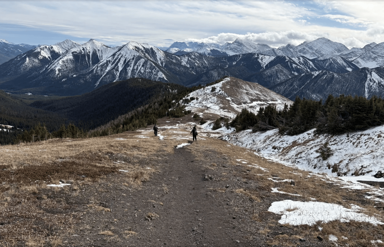
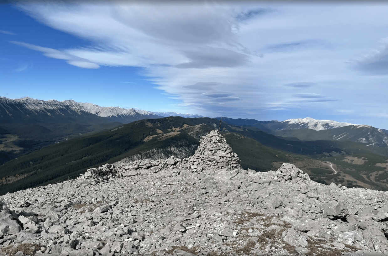
5. Forgetmenot Ridge (North Summit)
Distance: ~13 km return
Elevation Gain: ~875 m
Time: 5 to 7 hours
Difficulty: Moderate to challenging
Trailhead: Elbow River area near Forgetmenot Pond (Elbow Valley)
Why It Works in November
This is a popular late-season ridge because it melts out faster and stays out of avalanche terrain when you stick to the standard route. It provides a full-value ridge experience before the Elbow Valley road closure in December.
Route Overview
Start near Forgetmenot Pond, cross the Elbow River, and head up the steep grassy slope to gain the ridge. The route is direct with a clear line to the ridge crest. Once on the ridge, travel north toward the summit. Return the same way.
Early November often allows rock-hopping across the river, but bring backup footwear in case water levels are higher than expected.
November Conditions
Cold wind along the ridge is common. Snow collects in dips. Traction recommended for the descent. Plan for a colder day compared to valley forecasts.
Access Notes
Important: Highway 66 closes December 1 at Elbow Falls. Forgetmenot Ridge must be done before the seasonal gate goes up.
Reply