- Bow Valley Insider
- Posts
- The Highway 40 Waterfall Most Winter Hikers Never See in Kananaskis
The Highway 40 Waterfall Most Winter Hikers Never See in Kananaskis
A rarely visited frozen waterfall accessed via six bridge crossings along Galatea Creek
Bow Valley Insider
January 29, 2026
I recently checked out a frozen waterfall in Kananaskis called A Bridge Too Far that most people have never heard of. In fact, outside of the ice climbing community, almost nobody knows it exists. If you want to find information on it, you will not see it on AllTrails or in standard hiking guides. You have to dig through niche ice climbing blogs, old trip reports, and local Facebook groups to even learn where it is.
So today, I am sharing with the Bow Valley Insider community how to visit one of the coolest and least known frozen waterfalls along Highway 40.
An Alternative To “Green Monster”
Most winter hikers who want to see a frozen waterfall in Kananaskis head to the Green Monster. It is a fantastic destination and we have written about it before. One downside, however, is the distance. The full hike to the Green Monster is about 12 kilometres round trip. While you can turn around earlier and still see other waterfalls, reaching the main icefall at the end usually means committing to four to five hours on the trail.
A Bridge Too Far cuts that time roughly in half. The trade-off is that getting right up to the base of the waterfall involves traveling in avalanche terrain. Before going, you absolutely need to check the avalanche bulletin for Kananaskis and understand what the current conditions are. It is also important to have the training, equipment, and decision-making skills required for safe travel in avalanche terrain.
If you are not comfortable with that, you can still see the waterfall from a distance without entering the runout zone. On the day we went, the avalanche hazard was rated low in the alpine, treeline, and below treeline, which made us comfortable continuing to the base.
Start Along The Galatea Creek Trail and Hike Across Six Bridges
The hike starts at the Galatea parking lot. From there, follow the main trail along Galatea Creek for about 45 minutes. The key to finding the turnoff is counting bridges. The route crosses six of them, and that is exactly where the name A Bridge Too Far comes from.
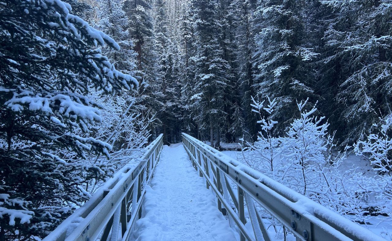
The first bridge is the large suspension bridge about five minutes from the trailhead.
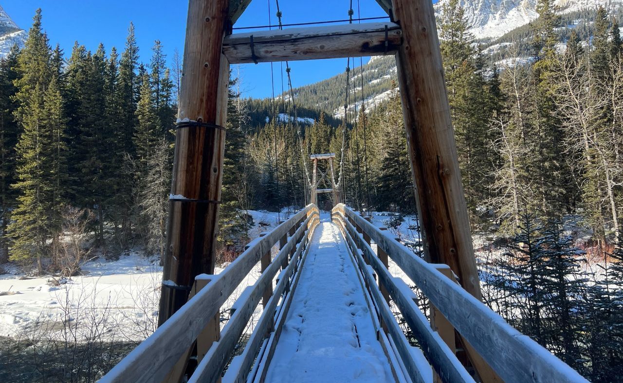
The first bridge
The second bridge comes roughly five minutes later. After crossing this one, make sure to turn left. A track to the right leads to a different objective.
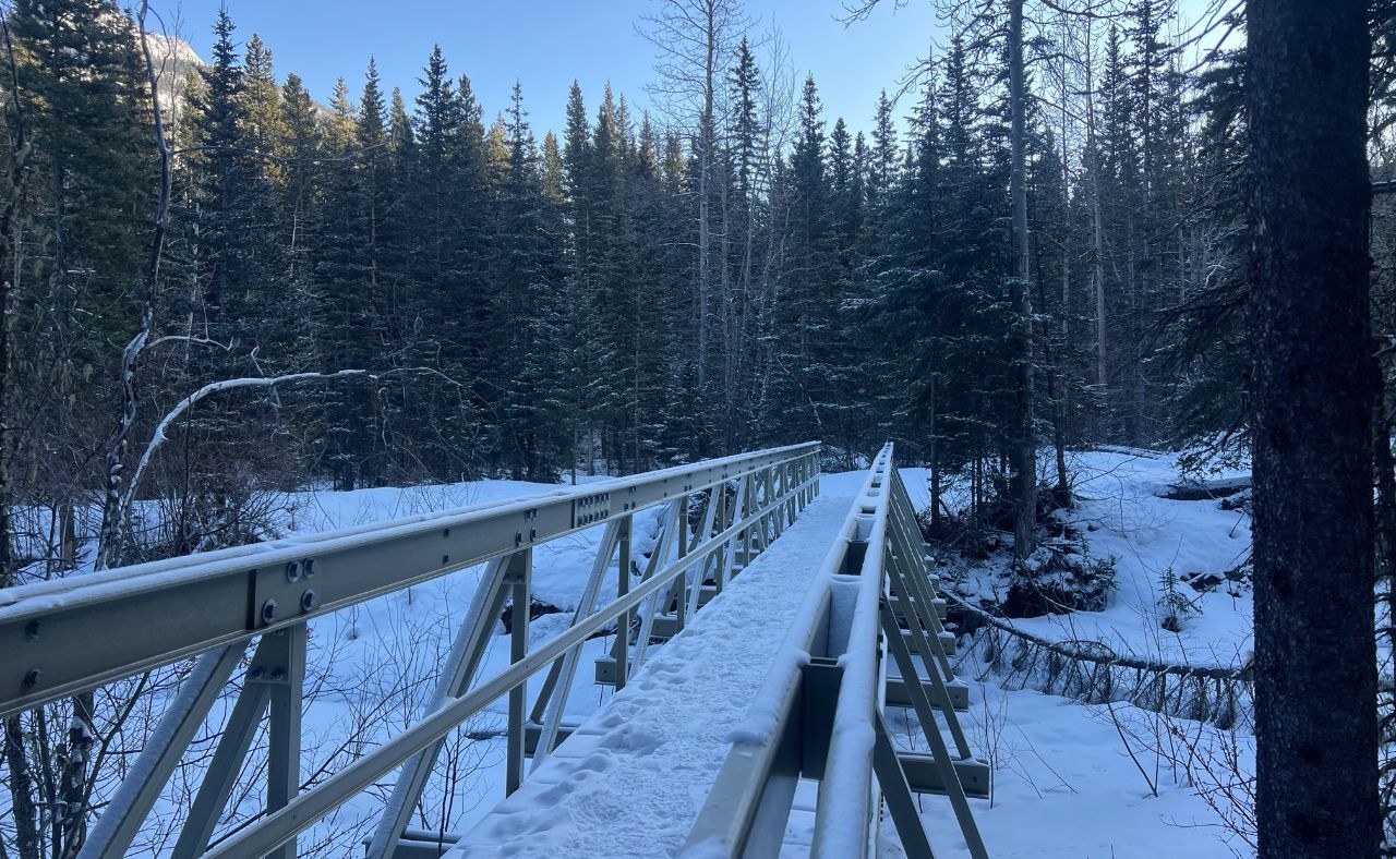
The second bridge
Turn left after the second bridge down this path
From there, continue along the creek and count bridges three, four, five, and six.
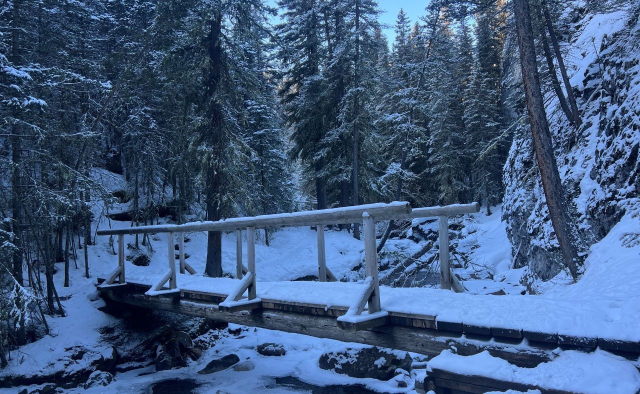
The third bridge
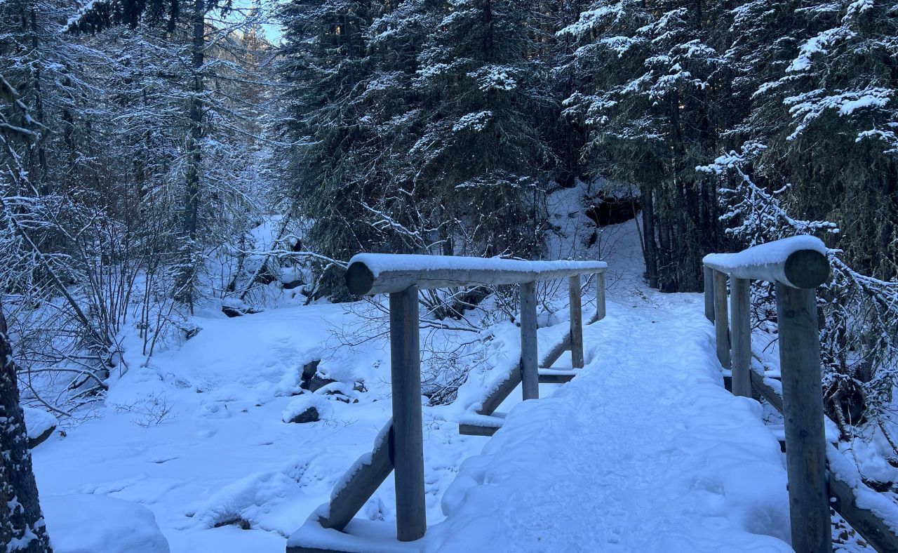
The fourth bridge
Around the fifth bridge, you should start to see the waterfall high on the slope to your right.
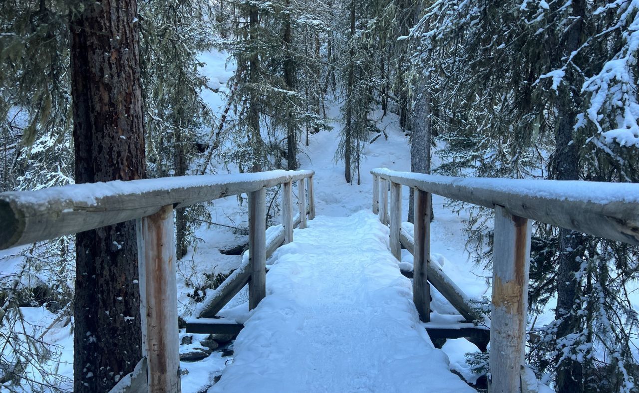
The fifth bridge

View of waterfall from the valley floor
It faces the sun and often glows in the light on clear days. Even if you do not go all the way to the base, it is a striking sight from the valley floor.
The sixth bridge
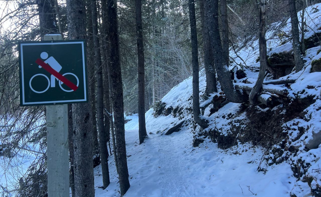
About 100 metres after the sixth bridge, the trail splits. The left branch continues along the main valley. The right branch climbs steeply and is the access route used by ice climbers. This is where you leave the standard trail.
Getting To The Base of The Waterfall
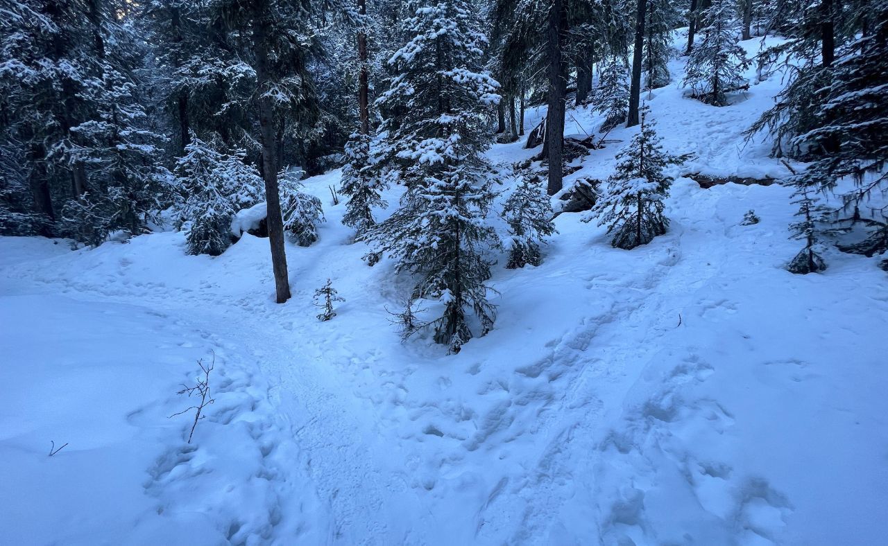
The fork in the road. Go right.
Microspikes are strongly recommended. If you are not already wearing them, this is the place to put them on. The climb to the waterfall gains roughly 150 to 200 metres of elevation on a mix of hardpacked snow and frozen grass that can be extremely slippery. This section is also where you enter avalanche terrain.

The terrain hiking up
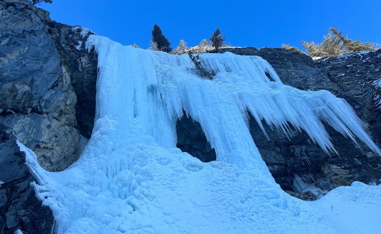
After about 15 to 20 minutes of steady uphill travel, you arrive at the base of the frozen waterfall. From this vantage point, you can only see the lower tier. The full ice climb continues higher and farther back than it appears from below, hidden by the cliff geometry.
Even so, the view from the base is impressive. The ice often forms into two or three distinct pillars with jagged features and overhanging bulges. It is not just tall, but wide, filling the entire cliff band with blue and white ice.
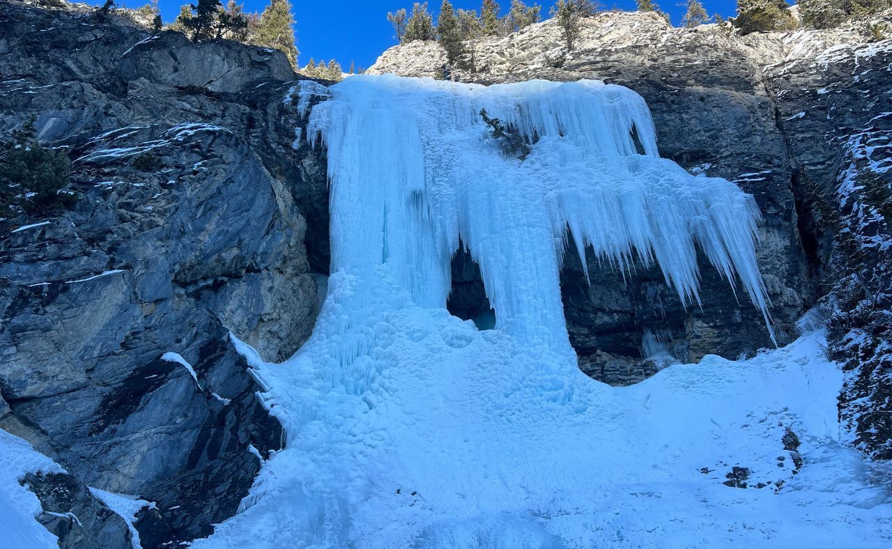
Pictures don’t do it justice; it’s huge.
This is a great place for photos, but caution is essential. Frozen waterfalls are active features. Ice fall is a real and constant hazard, especially on sunny days. A helmet is a wise piece of equipment if you plan to spend any time close to the base.
If you arrive between about 8 a.m. and 11 a.m., there is a good chance you will see ice climbers gearing up and starting their ascent. Watching them move up the pillars adds scale to the scene and makes for dramatic photos.
Because this is an avalanche zone and a potential ice fall area, it is not a place to linger for long, particularly in the afternoon once the sun has warmed the upper slopes.
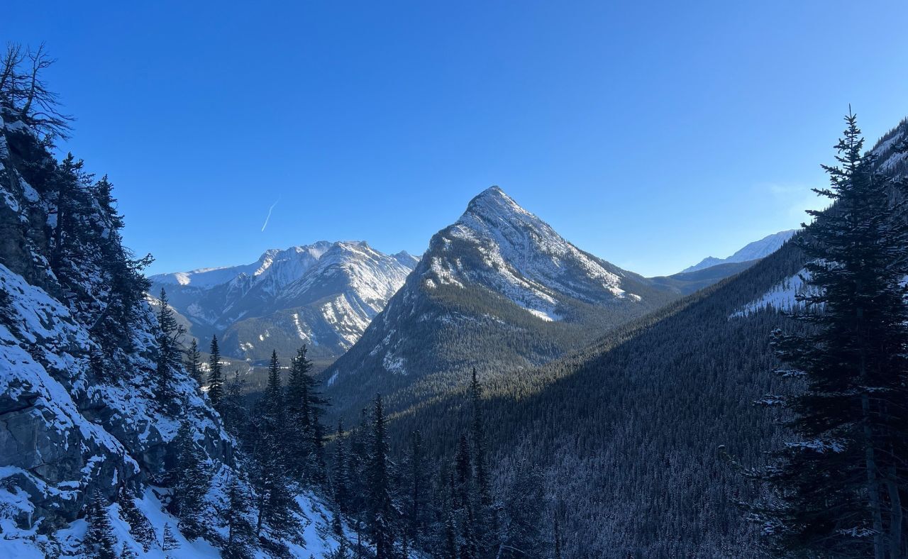
View looking backward
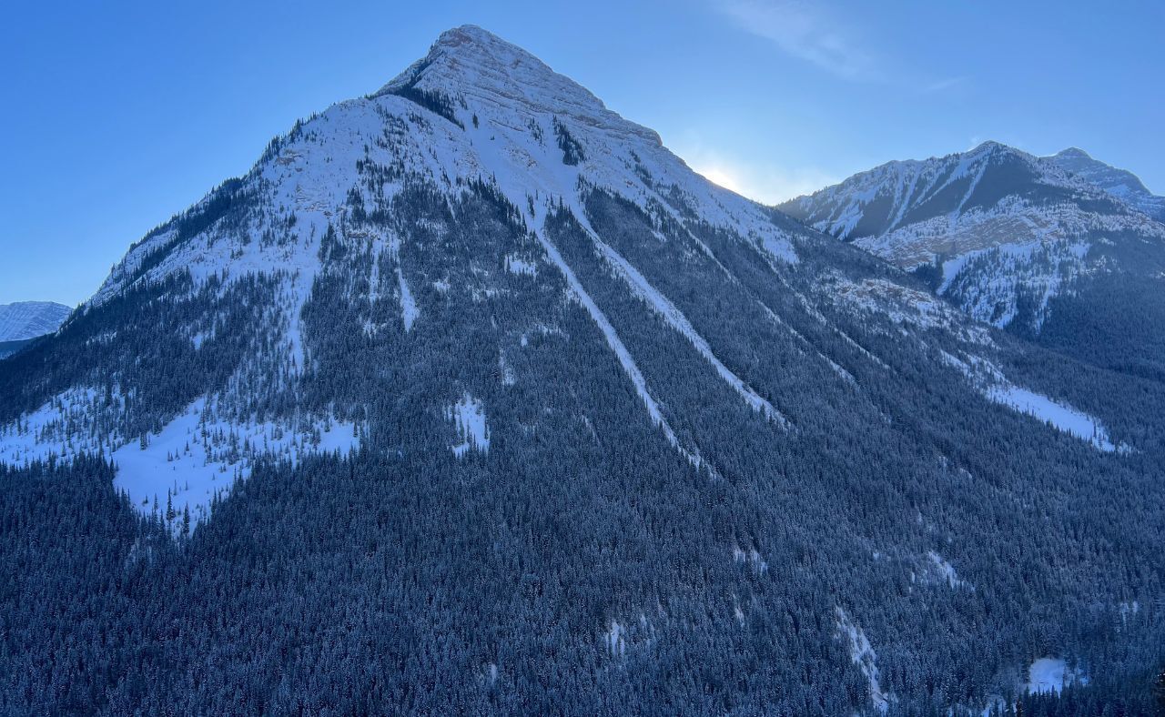
Another view looking backward
To return, simply retrace your steps back down to the main trail and follow the bridges back to the parking lot. We made our way out after dark and used headlamps for the final section, which added a quiet, atmospheric finish to an already memorable winter outing.
For hikers looking to explore something truly off the radar, A Bridge Too Far is one of the most unique frozen waterfall destinations in Kananaskis. It is a place normally reserved for ice climbers, but with the right conditions, preparation, and respect for the terrain, it offers a rare glimpse into a hidden side of the winter Rockies.
Reply